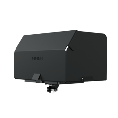
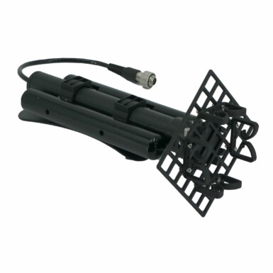
Description
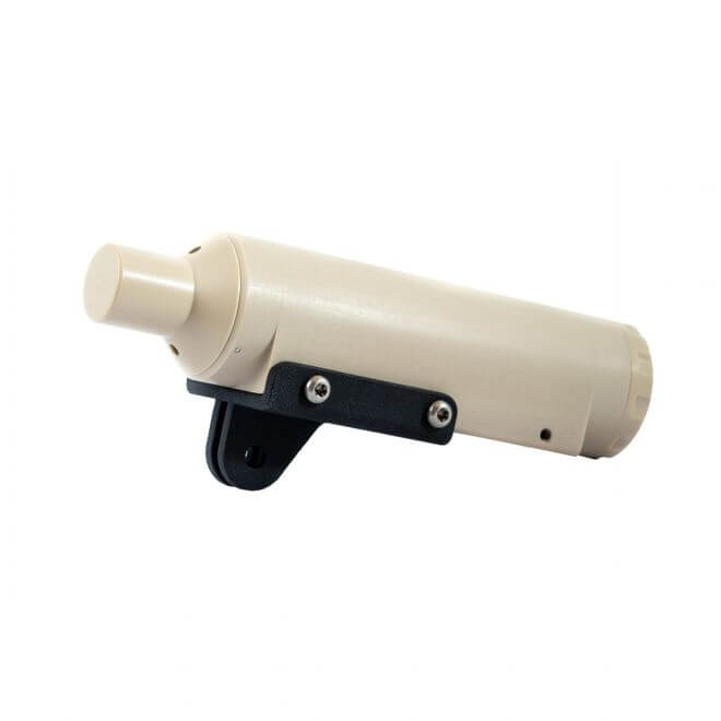
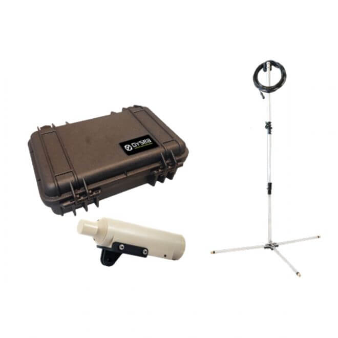
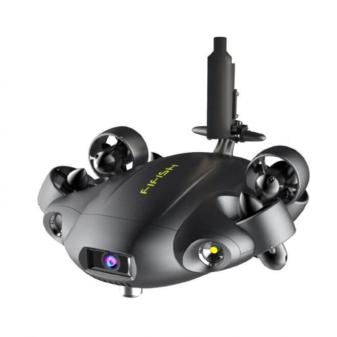
The U-QPS is a software and hardware ecosystem that provides a 3D map of the FIFISH ROV’s real-time location, POI recordings, three-dimensional dive paths, as well as a one-click function for returning to its original location.
Built to perform reliably under a range of underwater interferences, the U-QPS elevates inspection tasks and discovery missions to a new professional level.
Patented software and hardware eco-system providing your FIFISH ROV with real-time location tracking, three-dimensional dive path recordings, labeling multiple points of interest (POI), and more.
Detailed Dive Path Recordings
The U-QPS utilizes and combines various mapping software to display and track the ROV’s path of movement during the dive session with the FIFISH.
Real-time Location Display
QYSEA’s U-QPS delivers a detailed and accurate display of the FIFISH ROV’s real-time position, angle, depth, altitude, and distance.
Up to 300m Working Depth
QYSEA’s U-QPS comes available with a 100m and 300m working depth model. Can be integrated with professional models for comprehensive search and recovery missions.
Point of Interest Recordings
Through the integrated FIFISH APP, operators are able to set Point-of-interest (POI) locations at any point in time during the diving operation.
Specifications
| ITEM | SPEC. |
| Locator Depth Rating | 300m |
| Locator Operating Temperature | -5℃ ~ 60℃ |
| Locator Battery Lifetime | ~10 Hours |
| Locator Range | 100m or 300m |
| Locator Directivity | Omnidirectional (360 Degrees) |
| Receiver Operating Temperature | -10℃ ~ 60℃ |
| Receiver Transducers | 4x |
| Receiver Directivity | Omnidirectional (360 Degrees) |
| Max Range | 300m |
| Frequency | 31.25-250KHz |
| Cable | 10m |
Which FIFISH ROV model is the add-on tool compatible with?
This add-on tool is compatible with the following FIFISH Underwater Drones:
- FIFISH V6
- FIFISH V6s
- FIFISH V6 EXPERT
- FIFISH PRO V6 PLUS
- FIFISH W6


